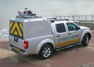
Ordnance Survey, the UK’s venerable mapping agency which was founded in 1746, has just released information on its new OS 3D mapping technology, which has been in trials for 3 years. The new technique uses a combination of StreetMapper 3D vehicles and aerial surveying with precision lasers to produce high resolution 3D maps of an area.
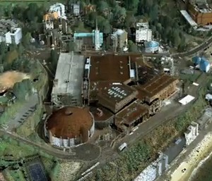
The first city to be mapped in this way is Bournemouth on the UK’s South coast, which has had every square metre of the town centre mapped using more than 700 million frickin’ laser beams. The beams were bounced off buildings and terrain and then combined with the legendary Ordnance Survey 2D map data to create a stunningly complex and detailed 3D rendition of the location.
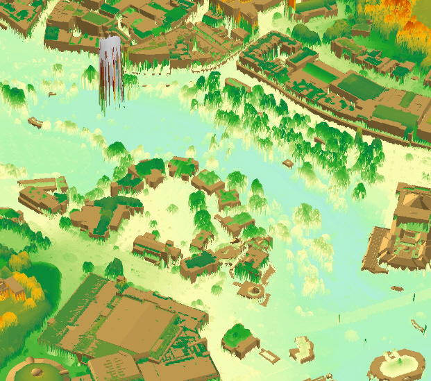
The result is a true map of the future, which depicts the area with a much greater 3D accuracy than anything done before. The land vehicles travel at up to 70 km/h and can map a location out to a range of 300 metres, taking an astonishing 300,000 measurements per second per sensor, which lets them map something down to an accuracy of 10 millimetres. Take that Google Earth. Watch the video for a low resolution fly-through of the results.
Don’t expect to see widespread use of 3D maps using this amazing technology for a while though, the agency is still hard at work perfecting the tech, and say that it could be 5 years before it’s ready to go to work mapping the rest of the world.
The map was created as part of a trial spanning three years, with every square metre of Bournemouth captured using a combination of land-based and aerial survey with high-accuracy lasers. “We started by collecting the terrain, then vegetation before adding individual buildings, the road network and aerial imagery. “Given the level of detail that we’ve achieved, I think Bournemouth can confidently lay claim to being the best mapped place on the planet.”